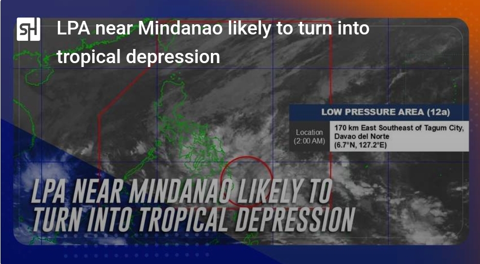
PAGASA announced this morning, December 17th, that a low-pressure area (LPA) east of Mindanao has a high probability of developing into a tropical depression within the next 24 hours. It will be named Querubin.
As of 3 a.m. today, the LPA was located approximately 155 km east-southeast of Tagum City, Davao del Norte (6.8°N, 127.1°E). This system is situated along the Intertropical Convergence Zone (ITCZ), currently affecting Visayas and Mindanao.
Expected Impacts:
– Eastern Visayas, Caraga, and Davao Region: Expect cloudy skies with scattered rains and thunderstorms.
– Bicol Region and Quezon: Cloudy skies with scattered rains and thunderstorms are anticipated due to the shear line.
Context:
This potential development comes after a particularly active period between October and November. Six storms hit the Philippines during that time, resulting in tragic consequences: approximately 171 deaths, thousands left homeless, and significant damage to crops and livestock. NASA has noted the unusual nature of these overlapping cyclones. The agency suggests that the storms may influence the formation and paths of subsequent weather systems.
The Philippines typically experiences around 20 major storms and typhoons annually. While this is common, the concentration of multiple significant events within a short timeframe, as seen recently, is relatively rare.


